
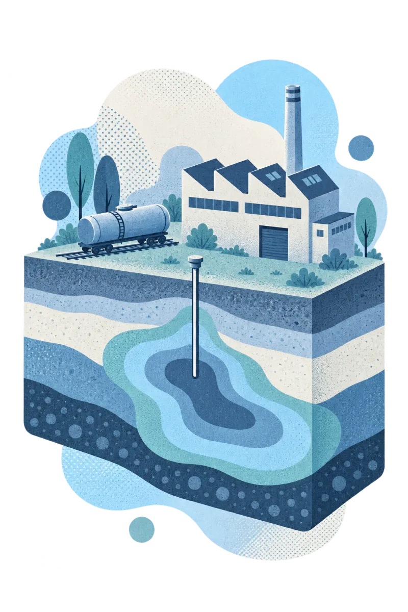
Plants, rail yards and storefronts. A century of owners, in one record.
For owners, buyers, lenders and their consultants: who used each property and how, the contaminants those uses leave behind, and screening against the land use that comes next, cited to the page.
Industrial land changes hands faster than its records do.
A property can go from foundry to warehouse to redevelopment parcel, with a different owner and consultant at every step. The history that decides the cleanup is spread across all of them.
- The useful history is old. Fire insurance plans, city directories, permits and aerial photos show what stood where decades ago, and none of it is in one place.
- The chemistry is mixed. Solvents, metals, PCBs, PAHs and petroleum can sit on one property from different eras and different tenants.
- Deals set the clock. A sale, a refinancing or a rezoning needs answers in weeks, not the months it takes to reread every report.
From the plant floor to the corner lot, the same way of keeping the record.
Manufacturing
Plants, foundries and plating shops
Degreasing solvents such as TCE and PCE, metals from plating and finishing, and PCBs from old transformers and capacitors.
Transport and utilities
Rail yards, terminals and former gasworks
Fuel and lubricant releases, creosote from treated ties, and coal tar from manufactured gas plants, all rich in PAHs.
Commercial
Dry cleaners, auto shops and fuel stations
Small sites with outsized plumes: PCE from dry cleaning, petroleum from underground tanks, and neighbours close by.
Built for how industrial properties actually get assessed.
Rebuild who did what, and when.
Statvis reads every report, permit, letter and clipping in the file and places each event on one timeline: tenants, processes, spills, tank removals and earlier investigations, each linked to its source page.
- Owners and operators in order
- Every event dated and cited
- Gaps in the record easy to spot
Put old plans on today's map.
Historical site plans are matched to the basemap, and the areas of potential environmental concern named in each report are outlined where they sit, so a vanished tank farm or degreasing room has a location again.
- Scanned plans georeferenced
- APECs drawn from the reports that name them
- Receptors and neighbouring uses alongside
Tell one source from another.
Where several tenants or neighbours could be responsible, chemical fingerprints help separate them. PAH report cards weigh petroleum against combustion sources, and sample clustering shows which results belong together.
- Petrogenic and pyrogenic PAH patterns
- Samples grouped by chemical profile
- Evidence for allocation and remedy decisions
Screen for the next land use.
Every sample is screened against the guidelines for the property's current use and for the one planned, so the gap between industrial, commercial and residential standards is clear before a deal or rezoning.
Changing the use of industrial land.
Most industrial assessments start with a Phase I environmental site assessment: a records review, site visit and interviews. In Canada it is often done to CSA Z768; in the United States, a Phase I to ASTM E1527-21 is how buyers meet EPA's All Appropriate Inquiries rule, which can protect them from Superfund liability.
The guidelines that apply depend on land use. Alberta's Tier 1 and Tier 2 remediation guidelines set separate values for commercial and industrial land. In Ontario, moving a property to a more sensitive use, such as industrial to residential, generally needs a Record of Site Condition under O. Reg. 153/04. British Columbia's Contaminated Sites Regulation lists the industrial and commercial uses that bring a site into its process.
Each step relies on evidence that usually already exists in the file. Statvis assembles it and keeps it cited, so the professional signing off can check every fact.
This is a general overview, not regulatory or legal advice. Requirements change and depend on the site; check the current regulator documents and rely on a qualified professional.
From industrial sites we've worked on.
All case studiesSource apportionment · USEPA Superfund site
A search for pesticides surfaced an old site map labelled “insecticide storage”, which helped identify another potentially responsible party.
Read the case studyData review · Superfund site
Profile comparison across the full PCB congener dataset isolated one analytical batch that didn’t match the site, before it could shape years of decisions.
Read the case studyRelated
All industriesUse case
Due diligence
Know the liabilities on a property before the deal closes.
Read moreBy role
Environmental lawyers
An evidence trail that opposing counsel can follow back to the record.
Read moreProduct
Environmental forensics
PAH, PFAS and salt fingerprints that help tell one source from another.
Read moreTake control of your contaminated sites.
Bring us one site's documents. We'll show you what's in them.